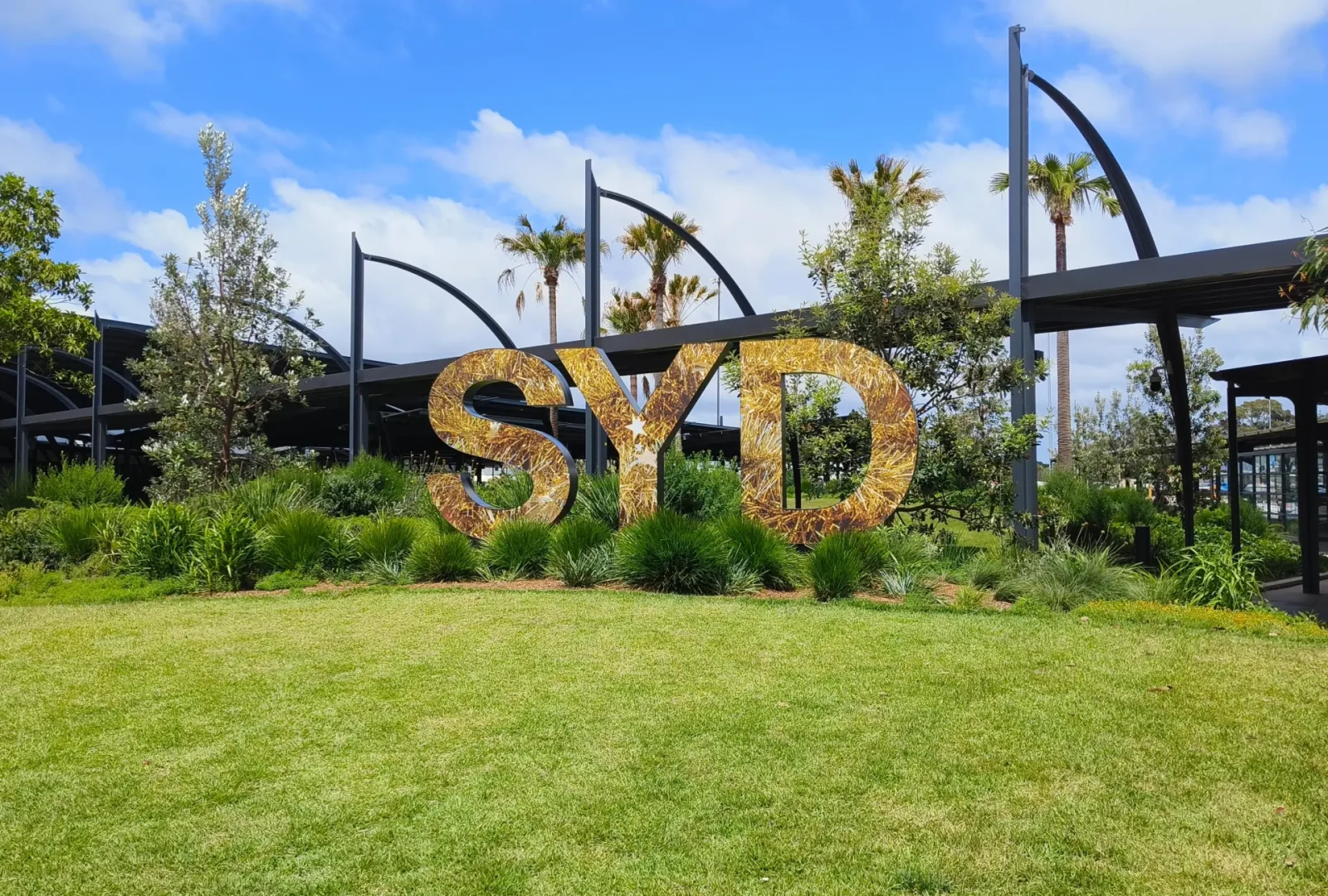
T3: Domestic Terminal is used for Qantas and QantasLink domestic flights.
Transport services such as buses, taxis, car hire, rail and shuttle bus services are conveniently located at Sydney Airport.
Public Transportation
Getting to the City
Upon arrival at the Sydney Airport, you have several efficient options to reach the city centre or your accommodation.
By Car
Driving to and from Sydney Airport takes about 25 minutes in light traffic. Most routes to the airport carry regular signs of the universally recognisable aeroplane symbol.
By taxi and rideshare
You can access taxis and rideshare services when you arrive. The Sydney CBD is a short, 20 minute ride away and will cost about $45-$55 one way.
By train
Sydney Airport is located just 13 minutes by train from the city. Airport Link offers a fast and convenient way to reach the city and suburbs, with trains running approximately every 10 minutes.
By shuttle
DART Express Shuttle provides direct transfers between Sydney Airport and popular Sydney CBD locations. The service operates daily from Sydney Airport Terminal 1 with regular departures throughout the day.
For more information on traveling to Sydney, please visit this page.
How to Move Around Sydney
Buses
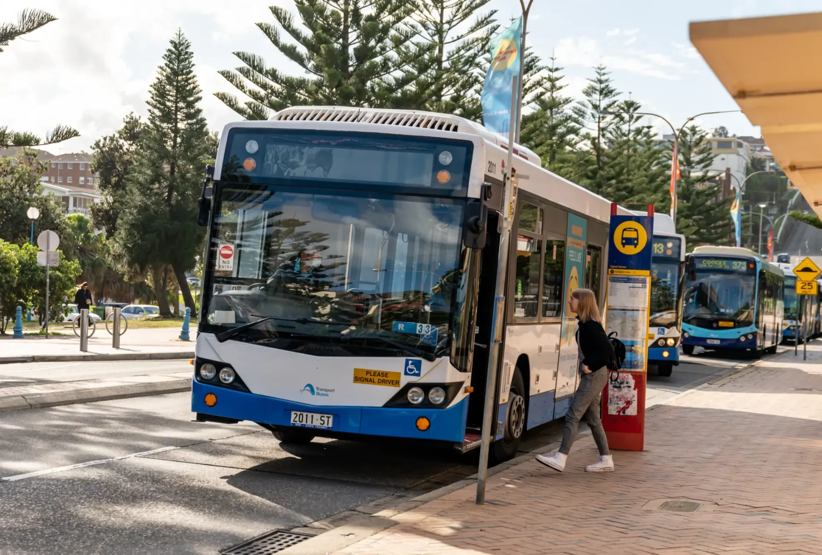
Buses form a key part of Sydney’s public transport system, connecting all areas of the city, including those without rail or water transport. There are also NightRide services replacing most train routes between midnight and 4.30am.
Key bus routes include:
333 – Connecting Circular Quay to Bondi
B1 – Wynyard to Mona Vale
373 – Connecting Museum to Coogee
380 – Watsons Bay to Bondi Junction
Rail
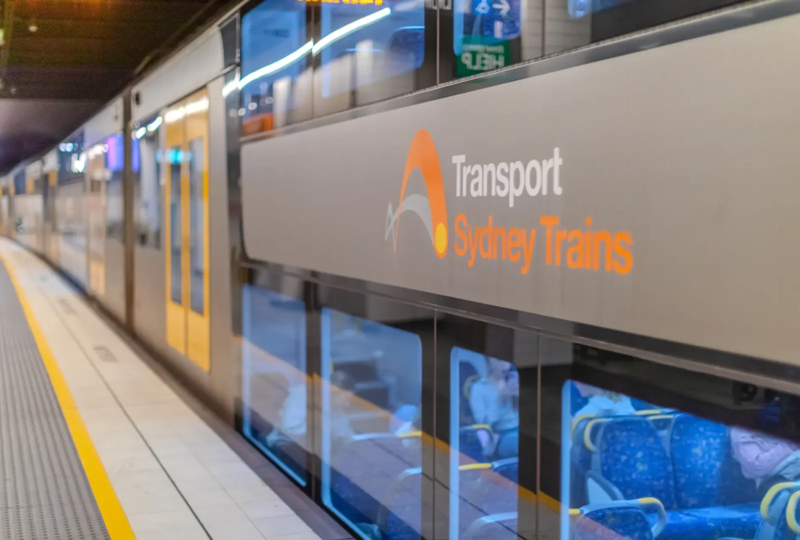
Sydney’s main terminus for local and regional trains and buses is Central Station at Railway Square, close to Chinatown. Trains operate North to the CBD and across the harbour to North Sydney and beyond, as well as east to Bondi Junction and South past and including Sydney Airport. Sydney train maps and train timetables can be found at Transport NSW.
Light rail
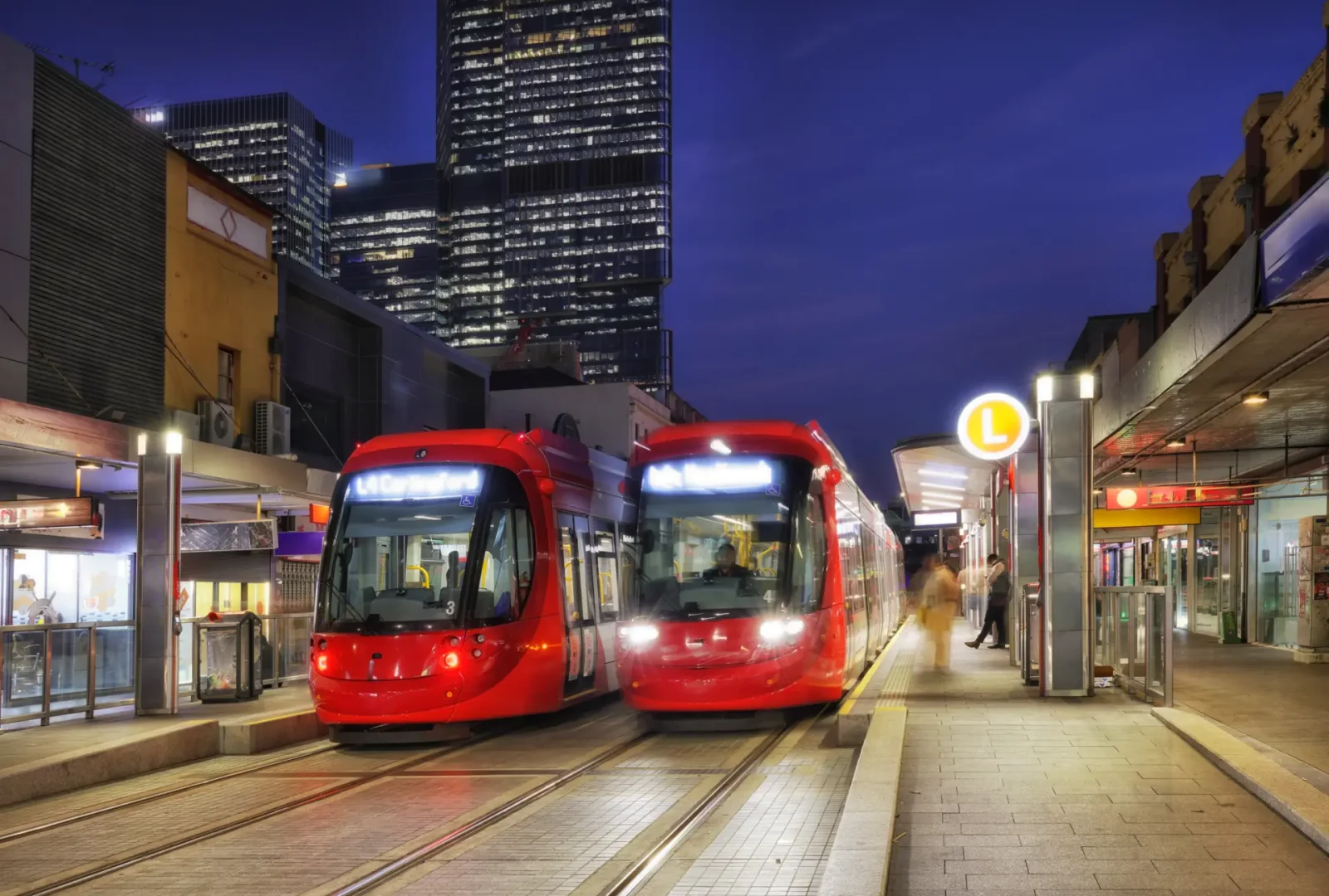
The L1 Inner West Light Rail network operates in both directions between Central Station and Dulwich Hill in Sydney’s West. The CBD and South East Light Rail includes the L2 Randwick Line connecting Circular Quay to Randwick and the L3 Kingsford Line between Circular Quay and Junior Kingsford. Visit Transport NSW for more information and for a Sydney Light Rail map.
Sydney Metro
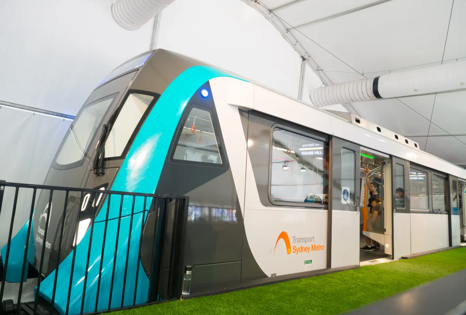
The Sydney Metro is Australia’s first fully accessible, automated driverless train network. Designed to connect Sydney’s north-west, city and south-west, the new line connecting Chatswood with Sydenham is now open, which includes stops at Crows Nest, Barangaroo, Martin Place, Gadigal and Waterloo. Tap your credit or debit card or use an Opal card to pay your fare. Visit Transport NSW for more information and for a Sydney Metro map.
Ferries
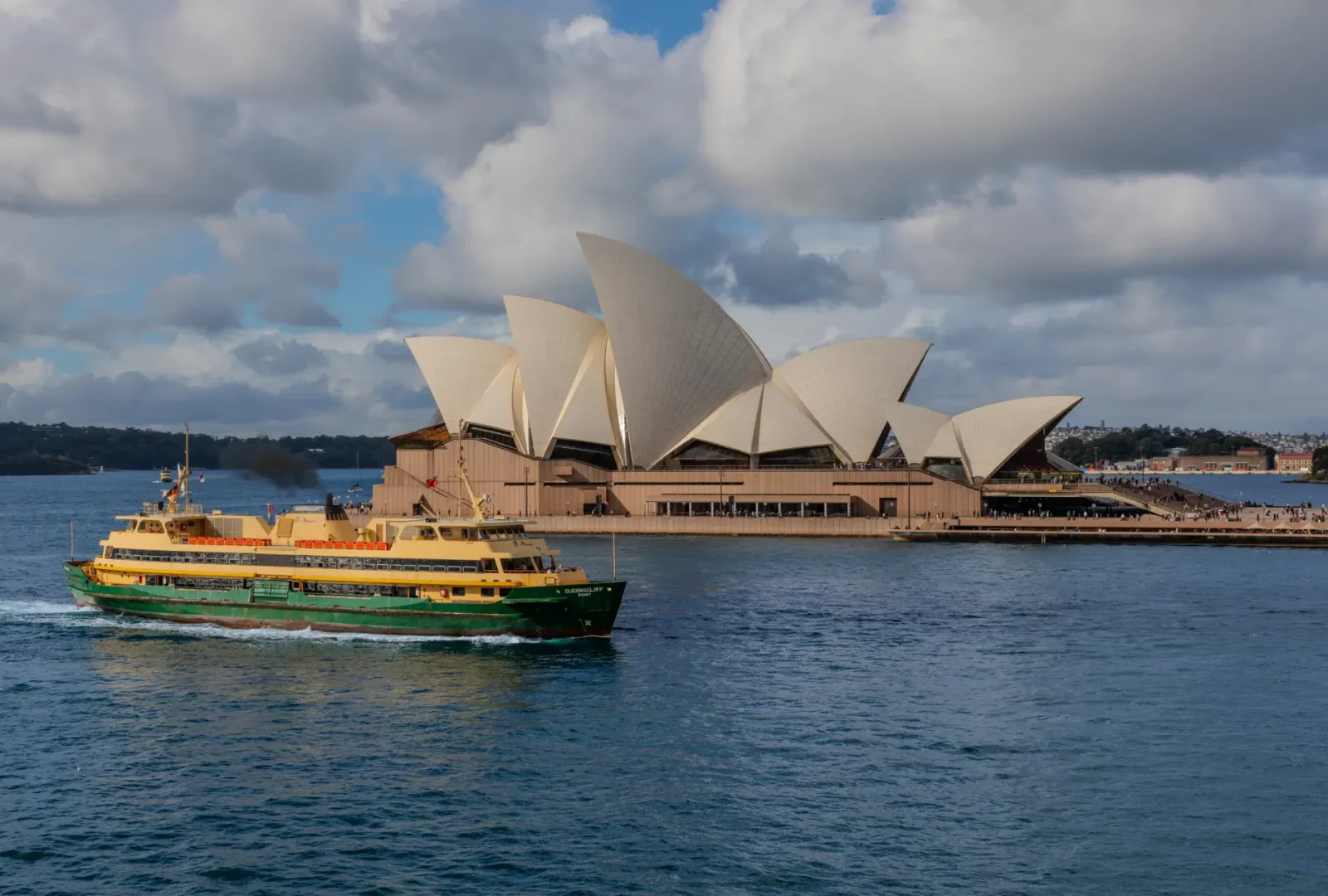
Ferries provide a fast and convenient way to cross the harbour, as well as offering a fantastic vantage point of the city. From Circular Quay you can take the Manly Fast Ferry or F1 to Manly, the F2 to Taronga Zoo and the F4 to Watsons Bay and Rose Bay.